
Kundura topographic map
Interactive map
Click on the map to display elevation.
About this map
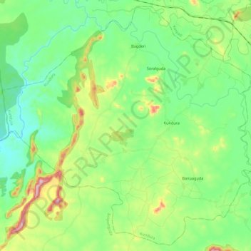
Name: Kundura topographic map, elevation, terrain.
Location: Kundura, Koraput, Odisha, 764002, India (18.82832 82.24105 19.02553 82.45995)
Average elevation: 579 m
Minimum elevation: 487 m
Maximum elevation: 804 m
Other topographic maps
Click on a map to view its topography, its elevation and its terrain.