
Thank you for supporting this site ❤️
Make a donation
Make a donation
Idabungo topographic map
Click on the map to display elevation.
Thank you for supporting this site ❤️
Make a donation
Make a donation
About this map
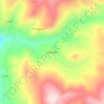
Name: Idabungo topographic map, elevation, terrain.
Location: Idabungo, Huaso, Julcán, La Libertad, Perú (-8.22901 -78.37118 -8.18901 -78.33118)
Average elevation: 3,703 m
Minimum elevation: 3,413 m
Maximum elevation: 3,962 m
Thank you for supporting this site ❤️
Make a donation
Make a donation