
La Palud topographic map
Interactive map
Click on the map to display elevation.
About this map
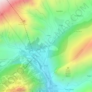
Name: La Palud topographic map, elevation, terrain.
Location: La Palud, Courmayeur, Aosta Valley, 11013, Italy (45.79836 6.94435 45.83836 6.98435)
Average elevation: 1,729 m
Minimum elevation: 1,204 m
Maximum elevation: 2,749 m