
Thank you for supporting this site ❤️
Make a donation
Make a donation
Mahagama topographic map
Click on the map to display elevation.
Thank you for supporting this site ❤️
Make a donation
Make a donation
Mahagama
Mahagama is located at 25°02′N 87°19′E / 25.03°N 87.32°E / 25.03; 87.32. The average elevation is 69 m (226 ft) above sea level. Mahagama is surrounded by hilly areas, with Kaleshari mountain on the east side of town. Laterite soil and red soil are the types of soil found in this block.
Thank you for supporting this site ❤️
Make a donation
Make a donation
About this map
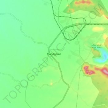
Name: Mahagama topographic map, elevation, terrain.
Location: Mahagama, Godda, Jharkhand, 814154, India (24.99440 87.27859 25.07440 87.35859)
Average elevation: 77 m
Minimum elevation: 10 m
Maximum elevation: 229 m
Thank you for supporting this site ❤️
Make a donation
Make a donation