
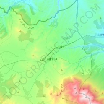
Ágreda topographic map
Interactive map
Click on the map to display elevation.
About this map
Name: Ágreda topographic map, elevation, terrain.
Location: Ágreda, Sória, Castela e Leão, 42100, Espanha (41.76728 -1.99214 41.96616 -1.82498)
Average elevation: 989 m
Minimum elevation: 575 m
Maximum elevation: 2,311 m