
Isthmus of Tehuantepec topographic map
Interactive map
Click on the map to display elevation.
About this map
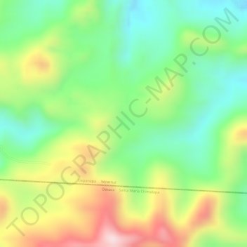
Name: Isthmus of Tehuantepec topographic map, elevation, terrain.
Location: Isthmus of Tehuantepec, Uxpanapa, Veracruz, Mexico (17.18353 -94.59059 17.18363 -94.59049)
Average elevation: 277 m
Minimum elevation: 124 m
Maximum elevation: 483 m