
Thank you for supporting this site ❤️
Make a donation
Make a donation
Kaal River topographic map
Click on the map to display elevation.
Thank you for supporting this site ❤️
Make a donation
Make a donation
About this map
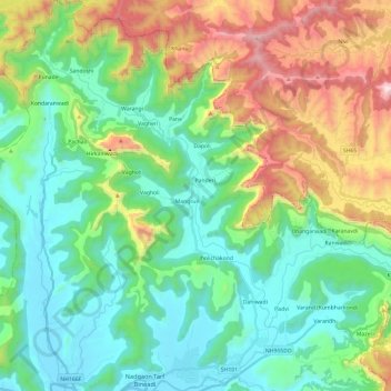
Name: Kaal River topographic map, elevation, terrain.
Location: Kaal River, Vagheri, Mahad Taluka, Raigad, Maharashtra, India (18.09151 73.40008 18.31856 73.54323)
Average elevation: 373 m
Minimum elevation: 4 m
Maximum elevation: 1,265 m
Thank you for supporting this site ❤️
Make a donation
Make a donation