
Thank you for supporting this site ❤️
Make a donation
Make a donation
Boschplaat topographic map
Click on the map to display elevation.
Thank you for supporting this site ❤️
Make a donation
Make a donation
About this map
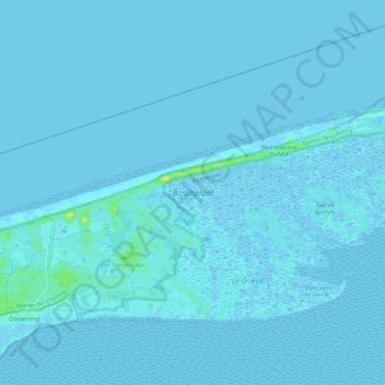
Name: Boschplaat topographic map, elevation, terrain.
Location: Boschplaat, Oosterend, Terschelling, Frisia, Netherlands (53.41338 5.42335 53.44138 5.54159)
Average elevation: 1 m
Minimum elevation: -4 m
Maximum elevation: 15 m
Thank you for supporting this site ❤️
Make a donation
Make a donation