
Thank you for supporting this site ❤️
Make a donation
Make a donation
Cherukupally topographic map
Click on the map to display elevation.
Thank you for supporting this site ❤️
Make a donation
Make a donation
About this map
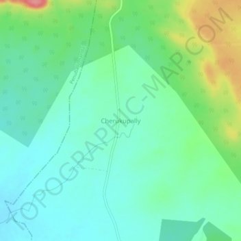
Name: Cherukupally topographic map, elevation, terrain.
Location: Cherukupally, Sathupally mandal, Khammam, Telangana, India (17.23766 80.75628 17.27766 80.79628)
Average elevation: 172 m
Minimum elevation: 146 m
Maximum elevation: 240 m
Thank you for supporting this site ❤️
Make a donation
Make a donation