
Nanggerang topographic map
Click on the map to display elevation.
About this map
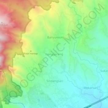
Name: Nanggerang topographic map, elevation, terrain.
Location: Nanggerang, Sumedang, West Java, Java, 40632, Indonesia (-6.89867 107.74983 -6.85867 107.78983)
Average elevation: 1,075 m
Minimum elevation: 829 m
Maximum elevation: 1,534 m
Other topographic maps
Click on a map to view its topography, its elevation and its terrain.