
Thank you for supporting this site ❤️
Make a donation
Make a donation
Bluffs topographic map
Click on the map to display elevation.
Thank you for supporting this site ❤️
Make a donation
Make a donation
About this map
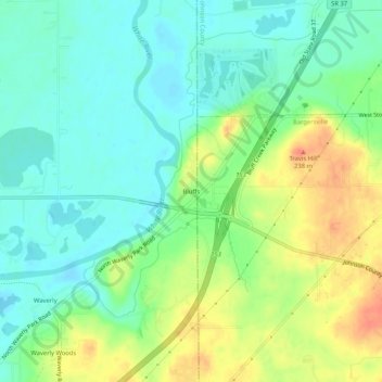
Name: Bluffs topographic map, elevation, terrain.
Location: Bluffs, Morgan County, Indiana, United States (39.54838 -86.27154 39.58838 -86.23154)
Average elevation: 209 m
Minimum elevation: 190 m
Maximum elevation: 239 m
Thank you for supporting this site ❤️
Make a donation
Make a donation
Other topographic maps
Click on a map to view its topography, its elevation and its terrain.