
Thank you for supporting this site ❤️
Make a donation
Make a donation
Siburan topographic map
Click on the map to display elevation.
Thank you for supporting this site ❤️
Make a donation
Make a donation
About this map
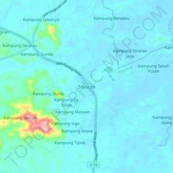
Name: Siburan topographic map, elevation, terrain.
Location: Siburan, Kuching, Kuching Division, Sarawak, Malaysia (1.32150 110.36435 1.40150 110.44435)
Average elevation: 27 m
Minimum elevation: -1 m
Maximum elevation: 307 m
Thank you for supporting this site ❤️
Make a donation
Make a donation