
Thank you for supporting this site ❤️
Make a donation
Make a donation
Bubierca topographic map
Click on the map to display elevation.
Thank you for supporting this site ❤️
Make a donation
Make a donation
About this map
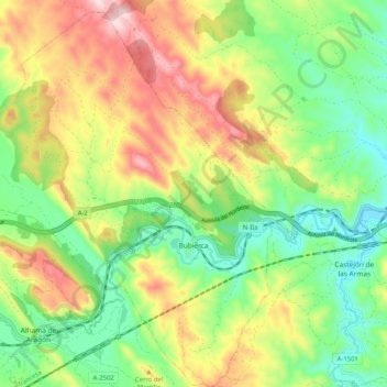
Name: Bubierca topographic map, elevation, terrain.
Location: Bubierca, Comunidad de Calatayud, Zaragoza, Aragón, España (41.28608 -1.93220 41.36306 -1.83002)
Average elevation: 746 m
Minimum elevation: 585 m
Maximum elevation: 978 m
Thank you for supporting this site ❤️
Make a donation
Make a donation