
So topographic map
Interactive map
Click on the map to display elevation.
About this map
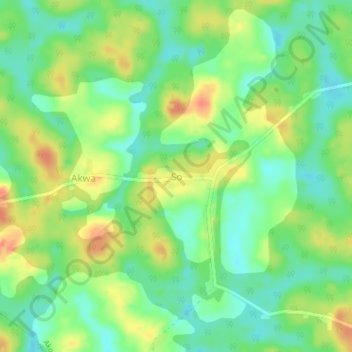
Name: So topographic map, elevation, terrain.
Location: So, Akonolinga, Nyong-et-Foumou, Région du Centre, Cameroun (3.58507 12.06626 3.62507 12.10626)
Average elevation: 691 m
Minimum elevation: 667 m
Maximum elevation: 723 m