
Thank you for supporting this site ❤️
Make a donation
Make a donation
Puchunco topographic map
Click on the map to display elevation.
Thank you for supporting this site ❤️
Make a donation
Make a donation
About this map
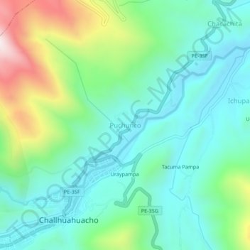
Name: Puchunco topographic map, elevation, terrain.
Location: Puchunco, Challhuahuacho, Cotabambas, Apurímac, Perú (-14.12353 -72.25716 -14.08353 -72.21716)
Average elevation: 3,860 m
Minimum elevation: 3,657 m
Maximum elevation: 4,416 m
Thank you for supporting this site ❤️
Make a donation
Make a donation