Geolocate

Mataking Island topographic map

Interactive map

Click on the map to display elevation.

About this map

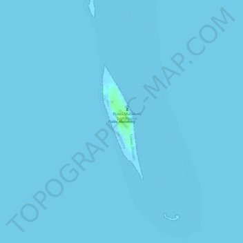
Name: Mataking Island topographic map, elevation, terrain.

Location: Mataking Island, Semporna, Tawau Division, Sabah, Malaysia (4.56990 118.94672 4.58268 118.95126)

Average elevation: 0 m

Minimum elevation: 0 m

Maximum elevation: 11 m

Other topographic maps

Click on a map to view its topography, its elevation and its terrain.

Mabul Island

Malaysia > Sabah > Semporna

Mabul Island, Semporna, Tawau Division, Sabah, Malaysia

Average elevation: 0 m

Semporna

Malaysia > Sabah > Semporna

Semporna, Tawau Division, Sabah, 91300, Malaysia

Average elevation: 4 m