
Nermand topographic map
Interactive map
Click on the map to display elevation.
About this map
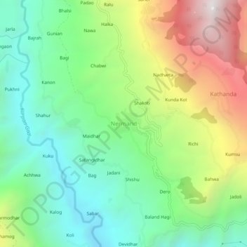
Name: Nermand topographic map, elevation, terrain.
Location: Nermand, Kullu District, Himachal Pradesh, 172023, India (31.40499 77.55420 31.44499 77.59420)
Average elevation: 1,465 m
Minimum elevation: 915 m
Maximum elevation: 2,450 m
Other topographic maps
Click on a map to view its topography, its elevation and its terrain.
Sarahan
India > Himachal Pradesh > Nermand > Sarahan
Sarahan, Nermand, Kullu, Himachal Pradesh, India
Average elevation: 2,581 m