
Thank you for supporting this site ❤️
Make a donation
Make a donation
Blah topographic map
Click on the map to display elevation.
Thank you for supporting this site ❤️
Make a donation
Make a donation
About this map
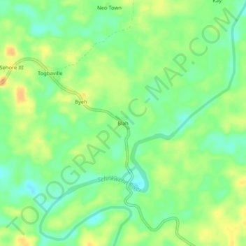
Name: Blah topographic map, elevation, terrain.
Location: Blah, Sanquin Dist# 1, Sinoe County, Liberia (5.47057 -9.22952 5.51057 -9.18952)
Average elevation: 46 m
Minimum elevation: 30 m
Maximum elevation: 63 m
Thank you for supporting this site ❤️
Make a donation
Make a donation