
Thank you for supporting this site ❤️
Make a donation
Make a donation
Horner topographic map
Click on the map to display elevation.
Thank you for supporting this site ❤️
Make a donation
Make a donation
About this map
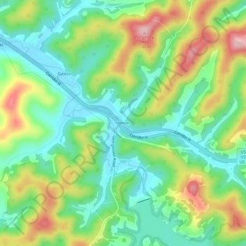
Name: Horner topographic map, elevation, terrain.
Location: Horner, Lewis County, West Virginia, 26372, United States (38.98065 -80.40259 39.02065 -80.36259)
Average elevation: 389 m
Minimum elevation: 312 m
Maximum elevation: 522 m
Thank you for supporting this site ❤️
Make a donation
Make a donation
Other topographic maps
Click on a map to view its topography, its elevation and its terrain.