
Thank you for supporting this site ❤️
Make a donation
Make a donation
Motueka topographic map
Click on the map to display elevation.
Thank you for supporting this site ❤️
Make a donation
Make a donation
About this map
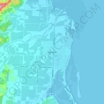
Name: Motueka topographic map, elevation, terrain.
Location: Motueka, Tasman District, Tasman, 7120, New Zealand (-41.15249 172.96949 -41.07249 173.04949)
Average elevation: 12 m
Minimum elevation: -3 m
Maximum elevation: 262 m
Thank you for supporting this site ❤️
Make a donation
Make a donation
Other topographic maps
Click on a map to view its topography, its elevation and its terrain.