
San Jose del Sitio topographic map
Interactive map
Click on the map to display elevation.
About this map
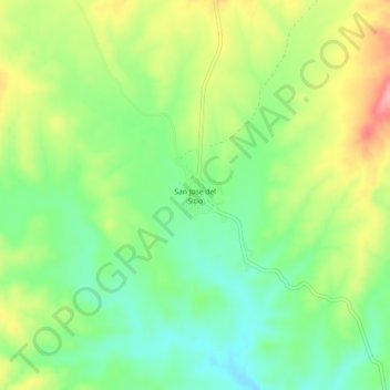
Name: San Jose del Sitio topographic map, elevation, terrain.
Location: San Jose del Sitio, Satevó, Chihuahua, México (27.50154 -106.28508 27.54154 -106.24508)
Average elevation: 1,530 m
Minimum elevation: 1,479 m
Maximum elevation: 1,605 m
Other topographic maps
Click on a map to view its topography, its elevation and its terrain.
San Rafael
México > Chihuahua > Satevó > La Cieneguilla
San Rafael, La Cieneguilla, Satevó, Chihuahua, México
Average elevation: 1,438 m