
Thank you for supporting this site ❤️
Make a donation
Make a donation
3d topographic map
Click on the map to display elevation.
Thank you for supporting this site ❤️
Make a donation
Make a donation
About this map
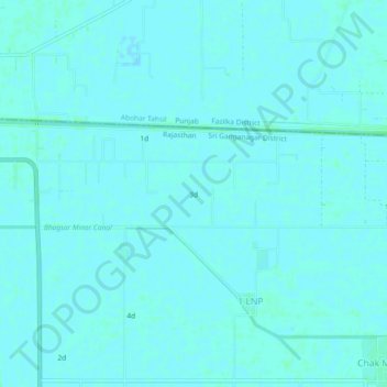
Name: 3d topographic map, elevation, terrain.
Location: 3d, 1 LNP, Ganganagar Tehsil, Sri Ganganagar, Rajasthan, India (29.94505 73.91816 29.98505 73.95816)
Average elevation: 178 m
Minimum elevation: 176 m
Maximum elevation: 180 m
Thank you for supporting this site ❤️
Make a donation
Make a donation