
Laramie topographic map
Interactive map
Click on the map to display elevation.
About this map
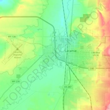
Name: Laramie topographic map, elevation, terrain.
Location: Laramie, Albany County, Wyoming, Estados Unidos da América (41.27742 -105.69729 41.33581 -105.52819)
Average elevation: 2,203 m
Minimum elevation: 2,160 m
Maximum elevation: 2,293 m