
Thank you for supporting this site ❤️
Make a donation
Make a donation
Sungai Rengas topographic map
Click on the map to display elevation.
Thank you for supporting this site ❤️
Make a donation
Make a donation
About this map
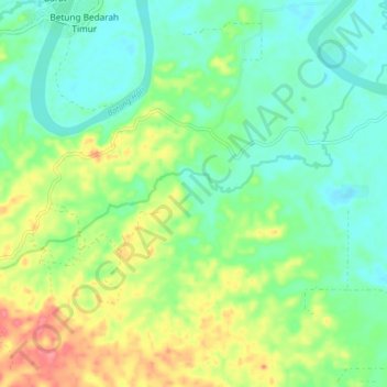
Name: Sungai Rengas topographic map, elevation, terrain.
Location: Sungai Rengas, Tebo, Jambi, Sumatra, Indonesia (-1.62045 102.64116 -1.57334 102.72225)
Average elevation: 47 m
Minimum elevation: 21 m
Maximum elevation: 98 m
Thank you for supporting this site ❤️
Make a donation
Make a donation
Other topographic maps
Click on a map to view its topography, its elevation and its terrain.