
Samborondón topographic map
Interactive map
Click on the map to display elevation.
About this map
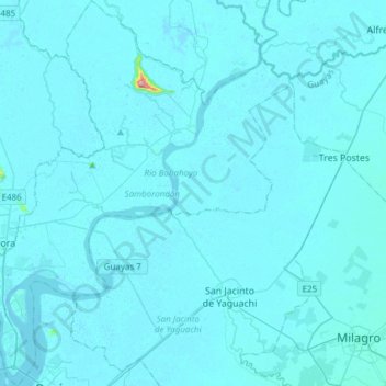
Name: Samborondón topographic map, elevation, terrain.
Location: Samborondón, Guayas, Ecuador (-2.16710 -79.89352 -1.86369 -79.64770)
Average elevation: 6 m
Minimum elevation: -6 m
Maximum elevation: 275 m