
Thank you for supporting this site ❤️
Make a donation
Make a donation
Weatherford topographic map
Click on the map to display elevation.
Thank you for supporting this site ❤️
Make a donation
Make a donation
About this map
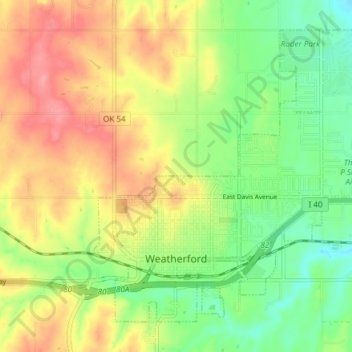
Name: Weatherford topographic map, elevation, terrain.
Location: Weatherford, Custer County, Oklahoma, 73096, United States (35.51512 -98.72516 35.56602 -98.64992)
Average elevation: 514 m
Minimum elevation: 472 m
Maximum elevation: 562 m
Thank you for supporting this site ❤️
Make a donation
Make a donation