
Thank you for supporting this site ❤️
Make a donation
Make a donation
Gusaisar topographic map
Click on the map to display elevation.
Thank you for supporting this site ❤️
Make a donation
Make a donation
About this map
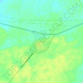
Name: Gusaisar topographic map, elevation, terrain.
Location: Gusaisar, Bikaner Tehsil, Bikaner, Rajasthan, India (28.04478 73.61604 28.08478 73.65604)
Average elevation: 243 m
Minimum elevation: 233 m
Maximum elevation: 251 m
Thank you for supporting this site ❤️
Make a donation
Make a donation
Other topographic maps
Click on a map to view its topography, its elevation and its terrain.