
Thank you for supporting this site ❤️
Make a donation
Make a donation
Caminayo topographic map
Click on the map to display elevation.
Thank you for supporting this site ❤️
Make a donation
Make a donation
About this map
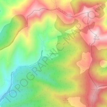
Name: Caminayo topographic map, elevation, terrain.
Location: Caminayo, Valderrueda, León, Castilla y León, España (42.85598 -4.94073 42.89598 -4.90073)
Average elevation: 1,411 m
Minimum elevation: 1,064 m
Maximum elevation: 1,756 m
Thank you for supporting this site ❤️
Make a donation
Make a donation