
Thank you for supporting this site ❤️
Make a donation
Make a donation
Atmakur topographic map
Click on the map to display elevation.
Thank you for supporting this site ❤️
Make a donation
Make a donation
About this map
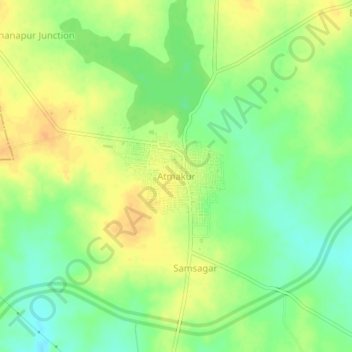
Name: Atmakur topographic map, elevation, terrain.
Location: Atmakur, Atmakur mandal, Wanaparthy, Telangana, 509131, India (16.31732 77.78546 16.35732 77.82546)
Average elevation: 322 m
Minimum elevation: 305 m
Maximum elevation: 337 m
Thank you for supporting this site ❤️
Make a donation
Make a donation