
Thank you for supporting this site ❤️
Make a donation
Make a donation
Huamuchapa topographic map
Click on the map to display elevation.
Thank you for supporting this site ❤️
Make a donation
Make a donation
About this map
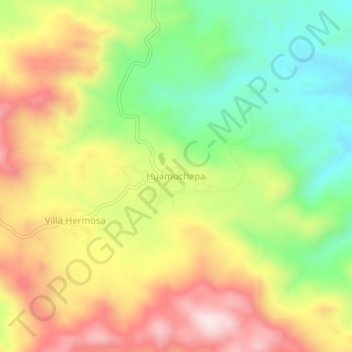
Name: Huamuchapa topographic map, elevation, terrain.
Location: Huamuchapa, Tecoanapa, Guerrero, México (16.92453 -99.33747 16.96453 -99.29747)
Average elevation: 712 m
Minimum elevation: 498 m
Maximum elevation: 949 m
Thank you for supporting this site ❤️
Make a donation
Make a donation