
Thank you for supporting this site ❤️
Make a donation
Make a donation
Ames topographic map
Click on the map to display elevation.
Thank you for supporting this site ❤️
Make a donation
Make a donation
About this map
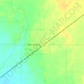
Name: Ames topographic map, elevation, terrain.
Location: Ames, Major County, Oklahoma, 73718, United States (36.24282 -98.19265 36.25095 -98.18059)
Average elevation: 369 m
Minimum elevation: 356 m
Maximum elevation: 379 m
Thank you for supporting this site ❤️
Make a donation
Make a donation