
Thank you for supporting this site ❤️
Make a donation
Make a donation
Bandengan topographic map
Click on the map to display elevation.
Thank you for supporting this site ❤️
Make a donation
Make a donation
About this map
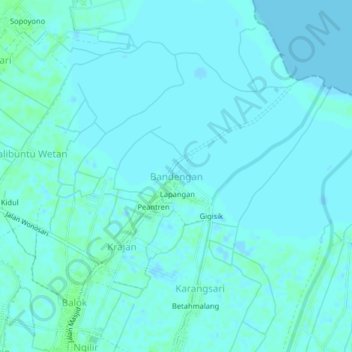
Name: Bandengan topographic map, elevation, terrain.
Location: Bandengan, Kendal, Central Java, Java, 51311, Indonesia (-6.91750 110.19652 -6.87750 110.23652)
Average elevation: 2 m
Minimum elevation: -3 m
Maximum elevation: 7 m
Thank you for supporting this site ❤️
Make a donation
Make a donation