
Make a donation
Yangbajain topographic map
Click on the map to display elevation.
Make a donation
Yangbajain
The Yangbajain hot springs field is at an elevation of 4,290 to 4,500 metres (14,070 to 14,760 ft) which makes it the highest elevation set of hot springs in China, and possibly the world. The highest temperature inside the drilling hole is 125.5°C.
Make a donation
About this map
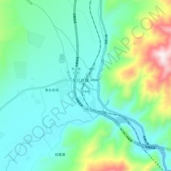
Name: Yangbajain topographic map, elevation, terrain.
Location: Yangbajain, Lhasa, Tibet, China (30.05796 90.49635 30.13796 90.57635)
Average elevation: 4,448 m
Minimum elevation: 4,241 m
Maximum elevation: 5,177 m
Make a donation
Other topographic maps
Click on a map to view its topography, its elevation and its terrain.
Qüxü County
In the Tibetan language, the name means "water ditch." Qüxü County has a total area of 1,680 square kilometres (650 sq mi), with an average elevation of 3,650 metres (11,980 ft). The county is in the Yarlung Tsangpo valley, and is mostly relatively flat, but rises to the Nyainqêntanglha Mountains in the…
Average elevation: 4,514 m
Lhünzhub County
Lhünzhub County is situated in central Tibet, approximately 65 km (40 mi) northeast of Lhasa. The county encompasses the Pengbo River Valley and the upper reaches of the Lhasa River, covering an area of 4,512 km2 (1,742 sq mi). The region is geologically diverse, with an average elevation of 4,000 metres…
Average elevation: 4,634 m
Make a donation