
Thank you for supporting this site ❤️
Make a donation
Make a donation
Big Bluff topographic map
Click on the map to display elevation.
Thank you for supporting this site ❤️
Make a donation
Make a donation
About this map
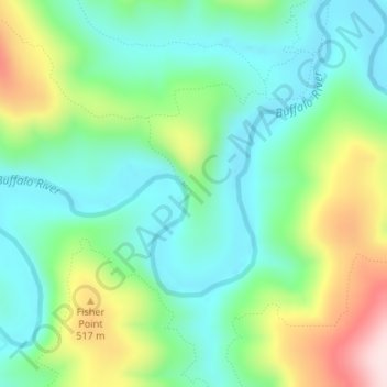
Name: Big Bluff topographic map, elevation, terrain.
Location: Big Bluff, Newton County, Arkansas, 72624, United States (36.04919 -93.31968 36.04929 -93.31958)
Average elevation: 397 m
Minimum elevation: 278 m
Maximum elevation: 662 m
Thank you for supporting this site ❤️
Make a donation
Make a donation
Other topographic maps
Click on a map to view its topography, its elevation and its terrain.