
Thank you for supporting this site ❤️
Make a donation
Make a donation
Wilen (Sarnen) topographic map
Click on the map to display elevation.
Thank you for supporting this site ❤️
Make a donation
Make a donation
About this map
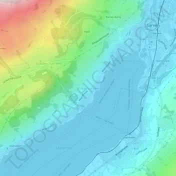
Name: Wilen (Sarnen) topographic map, elevation, terrain.
Location: Wilen (Sarnen), Sarnen, Obwald, 6062, Suisse (46.86136 8.20453 46.90136 8.24453)
Average elevation: 621 m
Minimum elevation: 467 m
Maximum elevation: 1,248 m
Thank you for supporting this site ❤️
Make a donation
Make a donation