
Zams topographic map
Interactive map
Click on the map to display elevation.
About this map
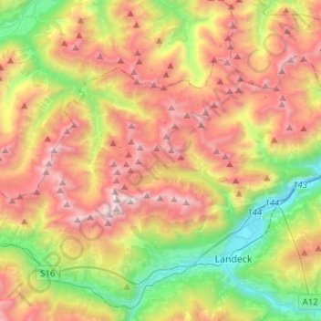
Name: Zams topographic map, elevation, terrain.
Location: Zams, Landeck, Tirol, 6511, Österreich (47.14021 10.42341 47.24914 10.67674)
Average elevation: 1,732 m
Minimum elevation: 720 m
Maximum elevation: 2,995 m