
Domas topographic map
Interactive map
Click on the map to display elevation.
About this map
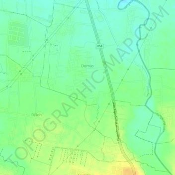
Name: Domas topographic map, elevation, terrain.
Location: Domas, Trowulan, Mojokerto, Oost-Java, Jawa, Indonesië (-7.56787 112.40230 -7.54177 112.42237)
Average elevation: 50 m
Minimum elevation: 36 m
Maximum elevation: 67 m