
Thank you for supporting this site ❤️
Make a donation
Make a donation
Halesi topographic map
Click on the map to display elevation.
Thank you for supporting this site ❤️
Make a donation
Make a donation
About this map
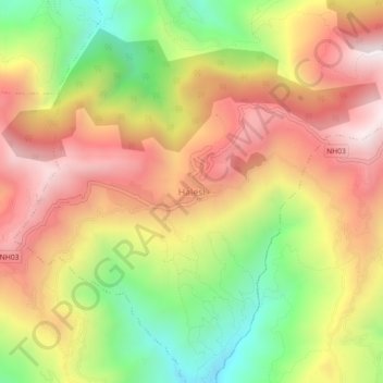
Name: Halesi topographic map, elevation, terrain.
Location: Halesi, Halesi Tuwachung, Khotang, Koshi Province, Nepal (27.17169 86.60282 27.21169 86.64282)
Average elevation: 1,175 m
Minimum elevation: 600 m
Maximum elevation: 1,682 m
Thank you for supporting this site ❤️
Make a donation
Make a donation
Other topographic maps
Click on a map to view its topography, its elevation and its terrain.