
Thank you for supporting this site ❤️
Make a donation
Make a donation
Mille topographic map
Click on the map to display elevation.
Thank you for supporting this site ❤️
Make a donation
Make a donation
About this map
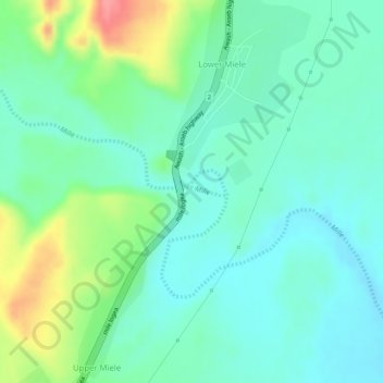
Name: Mille topographic map, elevation, terrain.
Location: Mille, Lower Miele, Zone 1, Afar Region, Ethiopia (11.41353 40.75924 11.41412 40.76277)
Average elevation: 496 m
Minimum elevation: 468 m
Maximum elevation: 558 m
Thank you for supporting this site ❤️
Make a donation
Make a donation