
梧桐山 topographic map
Interactive map
Click on the map to display elevation.
About this map
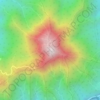
Name: 梧桐山 topographic map, elevation, terrain.
Location: 梧桐山, 深圳市, 广东省, 518081, 中国 (22.58220 114.21470 22.58230 114.21480)
Average elevation: 459 m
Minimum elevation: 92 m
Maximum elevation: 922 m
Other topographic maps
Click on a map to view its topography, its elevation and its terrain.