
Thank you for supporting this site ❤️
Make a donation
Make a donation
Ventura topographic map
Click on the map to display elevation.
Thank you for supporting this site ❤️
Make a donation
Make a donation
About this map
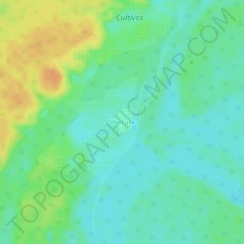
Name: Ventura topographic map, elevation, terrain.
Location: Ventura, Tarapacá, Amazonas, Colombia (-2.83656 -69.80333 -2.79656 -69.76333)
Average elevation: 69 m
Minimum elevation: 57 m
Maximum elevation: 89 m
Thank you for supporting this site ❤️
Make a donation
Make a donation