
Thank you for supporting this site ❤️
Make a donation
Make a donation
Highland Park topographic map
Click on the map to display elevation.
Thank you for supporting this site ❤️
Make a donation
Make a donation
About this map
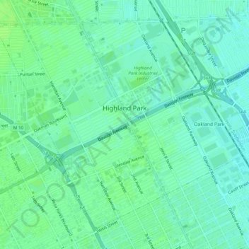
Name: Highland Park topographic map, elevation, terrain.
Location: Highland Park, Wayne County, Michigan, United States (42.38820 -83.12192 42.41814 -83.07362)
Average elevation: 196 m
Minimum elevation: 191 m
Maximum elevation: 200 m
Thank you for supporting this site ❤️
Make a donation
Make a donation
Other topographic maps
Click on a map to view its topography, its elevation and its terrain.
Thank you for supporting this site ❤️
Make a donation
Make a donation
Kresge Ford Basement Courtyard
United States > Michigan > Wayne County > Detroit
Average elevation: 193 m
Thank you for supporting this site ❤️
Make a donation
Make a donation
Greenfield Village
United States > Michigan > Wayne County > Greenfield Village
Average elevation: 184 m