
Romani topographic map
Interactive map
Click on the map to display elevation.
About this map
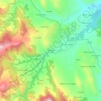
Name: Romani topographic map, elevation, terrain.
Location: Romani, Macerata, Marche, 62028, Italia (43.00705 13.27271 43.04705 13.31271)
Average elevation: 546 m
Minimum elevation: 390 m
Maximum elevation: 782 m