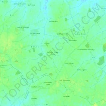
La Fosse Coupe-Choux topographic map
Interactive map
Click on the map to display elevation.
About this map
Name: La Fosse Coupe-Choux topographic map, elevation, terrain.
Average elevation: 177 m
Minimum elevation: 170 m
Maximum elevation: 184 m

Click on the map to display elevation.
Name: La Fosse Coupe-Choux topographic map, elevation, terrain.
Average elevation: 177 m
Minimum elevation: 170 m
Maximum elevation: 184 m