
Deep Fork topographic map
Interactive map
Click on the map to display elevation.
About this map
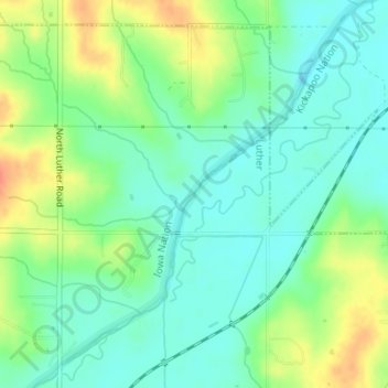
Name: Deep Fork topographic map, elevation, terrain.
Location: Deep Fork, Luther, Oklahoma County, Oklahoma, USA (35.68289 -97.18392 35.68511 -97.18193)
Average elevation: 282 m
Minimum elevation: 265 m
Maximum elevation: 312 m