
Walden Pond topographic map
Interactive map
Click on the map to display elevation.
About this map
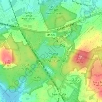
Name: Walden Pond topographic map, elevation, terrain.
Average elevation: 61 m
Minimum elevation: 29 m
Maximum elevation: 105 m
Other topographic maps
Click on a map to view its topography, its elevation and its terrain.
sandy island
USA > Massachusetts > Lincoln
sandy island, Lincoln, Middlesex County, Massachusetts, USA
Average elevation: 76 m