
Semenyih Dam topographic map
Interactive map
Click on the map to display elevation.
About this map
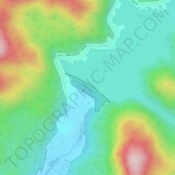
Name: Semenyih Dam topographic map, elevation, terrain.
Location: Semenyih Dam, Kajang, Selangor, 43000, Malaysia (3.07474 101.87871 3.07914 101.88567)
Average elevation: 190 m
Minimum elevation: 65 m
Maximum elevation: 429 m
Other topographic maps
Click on a map to view its topography, its elevation and its terrain.