
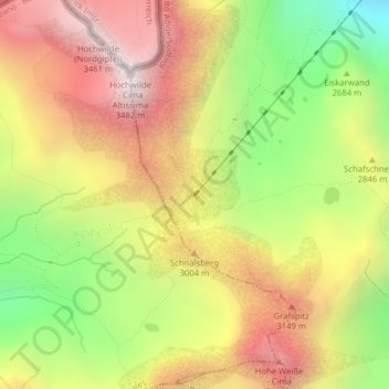
Stettiner Hütte topographic map
Interactive map
Click on the map to display elevation.
About this map
Name: Stettiner Hütte topographic map, elevation, terrain.
Average elevation: 2,816 m
Minimum elevation: 2,135 m
Maximum elevation: 3,433 m
Other topographic maps
Click on a map to view its topography, its elevation and its terrain.
Timmelsjoch
Italien > Trentino-Südtirol > Bozen > Moos in Passeier
Timmelsjoch, Moos in Passeier, Burggrafenamt, Bozen, Trentino-Südtirol, 39013, Italien
Average elevation: 2,483 m