
Artea topographic map
Interactive map
Click on the map to display elevation.
About this map
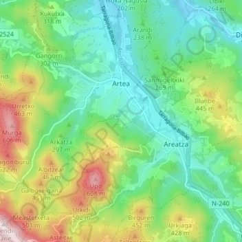
Name: Artea topographic map, elevation, terrain.
Location: Artea, Biskaje, Autonome Gemeenschap Baskenland, 48142, Spanje (43.10213 -2.82940 43.14987 -2.77144)
Average elevation: 269 m
Minimum elevation: 95 m
Maximum elevation: 641 m