
ولسوالی تگاب topographic map
Interactive map
Click on the map to display elevation.
About this map
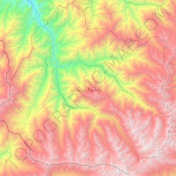
Name: ولسوالی تگاب topographic map, elevation, terrain.
Location: ولسوالی تگاب, Badakhchan, Afghanistan (36.30170 70.07992 36.70747 70.60313)
Average elevation: 3,370 m
Minimum elevation: 1,169 m
Maximum elevation: 5,515 m